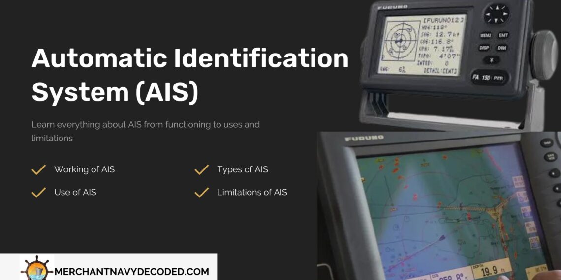
What is an Automatic Identification System (AIS)?
Table of contents
Overview
The International Maritime Organisation (IMO) established the Automatic Identification System (AIS) as a critical safety precaution under the updated Chapter V of the Safety of Life at Sea Convention (SOLAS) in 2000. The major goal is to reduce the dangers associated with maritime accidents and crashes. By the end of December 2004, a significant section of the commercial marine fleet was compelled to use AIS transponders and follow its communication protocol.
Automatic Identification System (AIS) transmits and receives essential data such as vessel identification, position, course, speed, and navigational status. This information not only increases safer navigation by allowing vessels to track each other’s movements, but it also allows for more efficient coordination with coastal authorities to improve maritime traffic management and search and rescue efforts.
Overall, AIS represents an important step in maritime safety and efficiency, helping to reduce collision risks and promote safe navigation standards across global waterways.
1. What is AIS
An AIS is a transponder that transmits and receives essential information from ships, such as vessel identification, position, course, speed, and navigational status.
Automatic Identification System provides vessels with real-time information on nearby ships, allowing them to assist with better navigation decisions and coastal authorities to more efficiently monitor marine traffic for traffic management and search and rescue operations.
2. Use of AIS

AIS is provided on board ships for several important reasons:
- Collision Avoidance: AIS increases situational awareness by delivering real-time data on the positions, courses, and speeds of surrounding vessels. This data allows ships to predict possible collisions and take precautions to avoid them.
- Regulatory Compliance: Many maritime authorities require ships to have AIS transponders to comply with international laws such as the SOLAS Convention. Compliance ensures that vessels contribute to overall maritime safety while adhering to global standards.
- Search and Rescue Support: AIS data can help with search and rescue operations by providing accurate vessel positions during emergencies. This information allows authorities to better coordinate rescue attempts and quickly find troubled vessels, perhaps saving lives.
3. AIS Regulations
The SOLAS Convention Regulation V/19.2.4 requires all vessels weighing 300 gross tonnes (GT) or more involved in international voyages, as well as all passenger ships regardless of size, to have an Automatic Identification System (AIS) onboard.
Unlock your path to becoming a top-tier Marine Officer with the 2nd Mate Guidance Series by Merchant Navy Decoded and score high in your mate’s exam.
4. Types of AIS

Both Class A and Class B AIS serve the function of vessel identification and collision avoidance; however, larger vessels and passenger ships require Class A AIS because it offers higher performance and provides more precise information.
In contrast, smaller vessels or places where AIS is not required typically have Class B AIS, which delivers less detailed information at a cheaper cost.
- Class A AIS:
- Requirement: Mandatory for vessels of 300 gross tons (GT) and above engaged in international voyages, as well as all passenger ships.
- Transmission Power and Reporting Rate is typically higher transmission power (Works on 161.975 MHz- Channel 87B) and faster reporting rate compared to Class B AIS.
- Messages have higher priority and contain more detailed information, including vessel identification, position, course, speed, navigational status, and additional data.
- Class B AIS:
- Voluntary and can be operated by any ship primarily used for vessels such as pleasure crafts.
- Transmission Power and Reporting Rate typically lower transmission power (162.025 MHz- Channel 88B ) and slower reporting rate compared to Class A AIS.
- Messages may provide a subset of information compared to Class A AIS.
5. How Does AIS Works

- Transmission and Reception
Originally, ships sent AIS signals to land stations within 20 miles. But now, they send signals to satellites in low orbit, which then send the information to land. This means ships can be tracked no matter how far they are from land.
- Components of the AIS System
On a ship, the AIS system includes one VHF transmitter, two VHF TDMA receivers, one VHF DSC receiver, and a link to display and sensor systems. It gets position from GPS and other data from shipboard equipment.
- Transmission Protocol
Each AIS station uses two radio channels to prevent interference and loss of communication. Stations send position reports in one of 2250 time slots every 60 seconds, ensuring synchronization to prevent overlap.
- Installation and Integration
AIS is commonly integrated with ship bridge systems or multifunctional displays. However, standalone AIS systems are also available and relatively easy to install. Installation typically involves connecting a few cables and switching on the system.
| Step | Action | Explanation |
| 1. | Ships send out signals from AIS transponders | Ships have AIS transponders that broadcast radio signals containing information like their location and identification. |
| 2. | AIS receivers pick up signals | Other ships and land-based stations with AIS receivers detect and receive these signals. |
| 3. | Information displayed on AIS-enabled screens | The received data is displayed on AIS-enabled screens, showing the location and details of the ships. |
| 4. | Captains navigate safely using AIS technology | Captains use this information provided by AIS technology to avoid collisions and navigate safely. |
If you want to know about What is Fresh Water Allowance! Click Here
6. AIS Data and Messages

- Static Data (Every 6 mins or on request):
- Ship’s unique ID (MMSI)
- Official ship number (IMO)
- Ship name and call sign
- Size details like length and width
- Ship type
- Location of its GPS antenna
- Variable Data (Varies with speed and turns):
- Where the ship is with how accurate
- Time when the position was recorded
- The direction it’s moving (COG)
- Voyage Details (Every 6 mins or when updated):
- How deep the ship is in water (draught)
- What it’s carrying
- Where it’s going and when it plans to arrive
- Its route, marked with waypoints
- Safety Notes (Quick messages about danger):
- Any urgent messages, like missing buoys or icebergs, are sent to nearby ships or stations.
FAQ: Understanding AIS (Automatic Identification System)
- How does the AIS work?
- AIS operates through transponders installed on ships, which continuously transmit and receive essential information such as vessel identification, position, course, speed, and navigational status.
- This information is then shared with other vessels and shore-based stations equipped with AIS receivers, enhancing situational awareness and facilitating safe navigation.
- What are the types of AIS?
- There are primarily two types of AIS: Class A and Class B.
- Larger vessels engaged in international voyages and passenger ships must use Class A AIS, which offers higher transmission power and message priority.
- Class B AIS is voluntary and commonly found on smaller vessels, providing less detailed information at a lower cost.
- What is AIS?
- International regulations mandate AIS, or Automatic Identification System, as a maritime safety system. It allows vessels to broadcast and receive vital information, aiding in collision avoidance, navigation, and maritime traffic management.
- What are the types of data given by an AIS?
AIS transmits three main categories of data:
- Static Information: Includes vessel identification, dimensions, ship type, and location of the GPS antenna.
- Dynamic Information: Consists of the ship’s current position, course over ground, and speed.
- Voyage-related Information: Provides details such as ship’s draught, type of cargo, destination, estimated time of arrival, and route plan.
- How to use an AIS onboard a vessel?
- Typically, ships integrate AIS with their navigation systems or display it on dedicated AIS-enabled screens. Captains and navigators use the information provided by AIS to avoid collisions, monitor surrounding vessel traffic, and make informed navigation decisions. Proper training and understanding of AIS functionalities are essential for effective use onboard.
Disclaimer :- The opinions expressed in this article belong solely to the author and may not necessarily reflect those of Merchant Navy Decoded. We cannot guarantee the accuracy of the information provided and disclaim any responsibility for it. Data and visuals used are sourced from publicly available information and may not be authenticated by any regulatory body. Reviews and comments appearing on our blogs represent the opinions of individuals and do not necessarily reflect the views of Merchant Navy Decoded. We are not responsible for any loss or damage resulting from reliance on these reviews or comments.
Reproduction, copying, sharing, or use of the article or images in any form is strictly prohibited without prior permission from both the author and Merchant Navy Decoded.